
Better Perspective. Better Decisions.
Turning Perspective Into Intelligence.
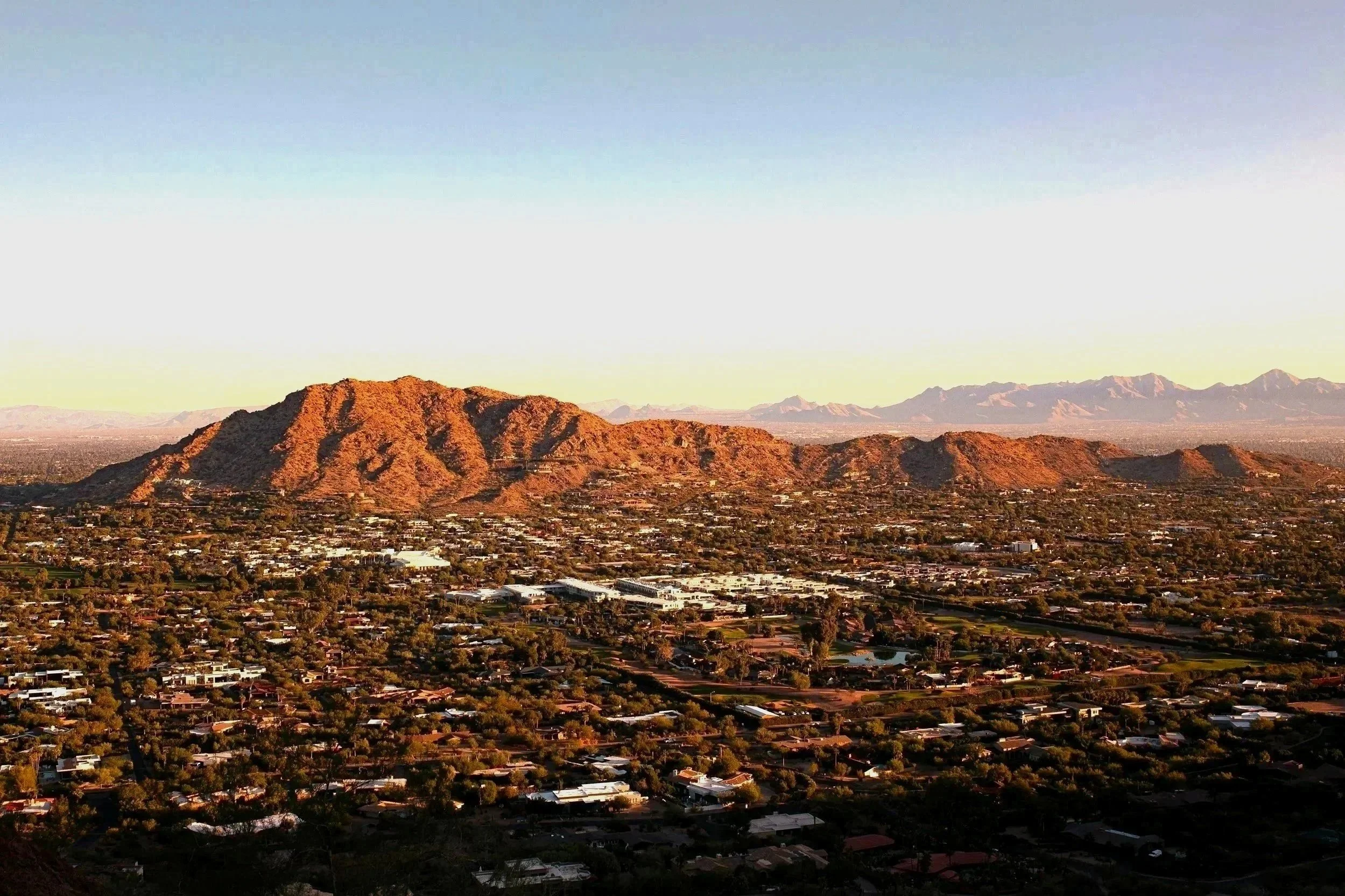
Based in Phoenix’s East Valley. Serving clients throughout Arizona.
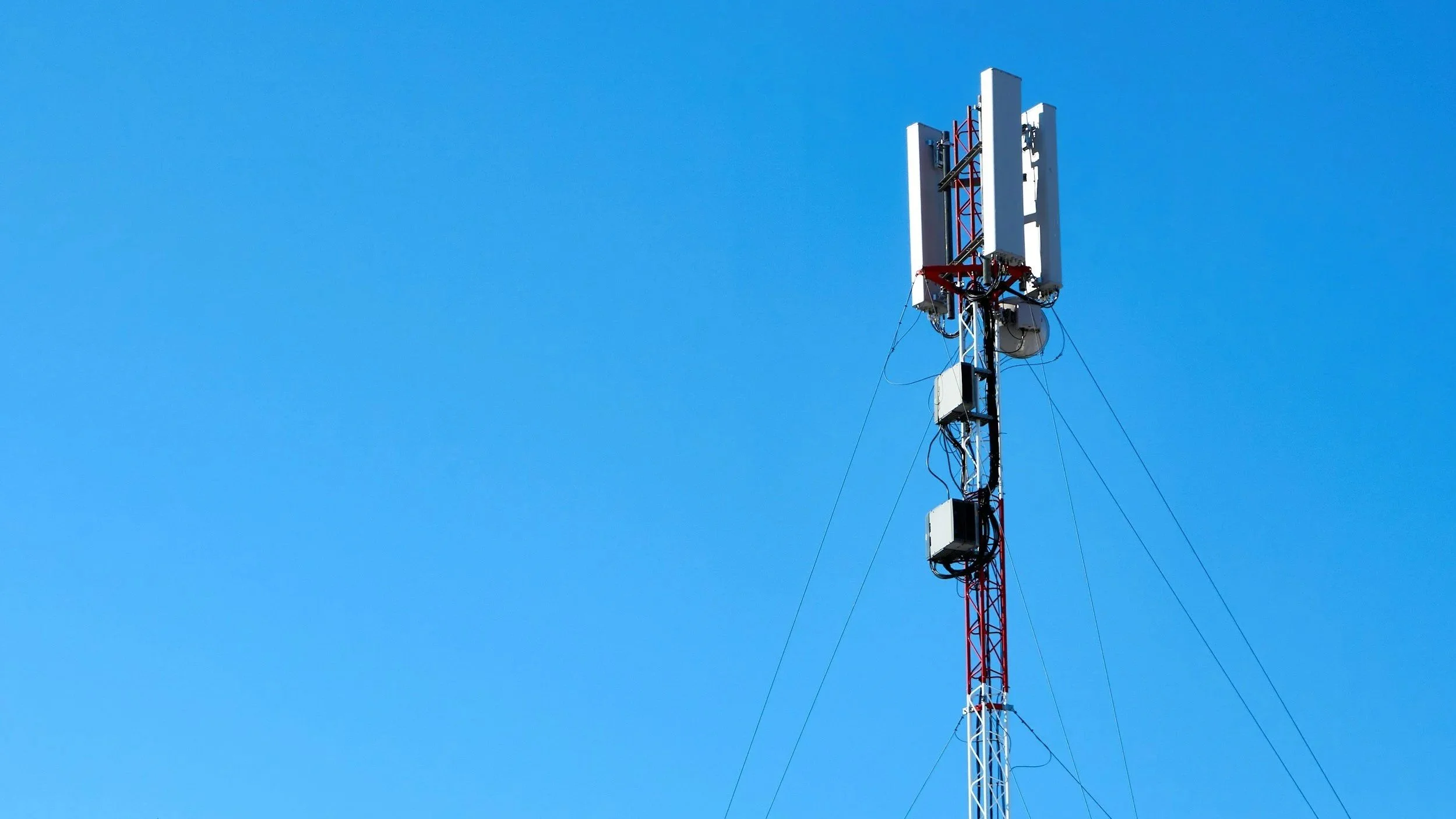
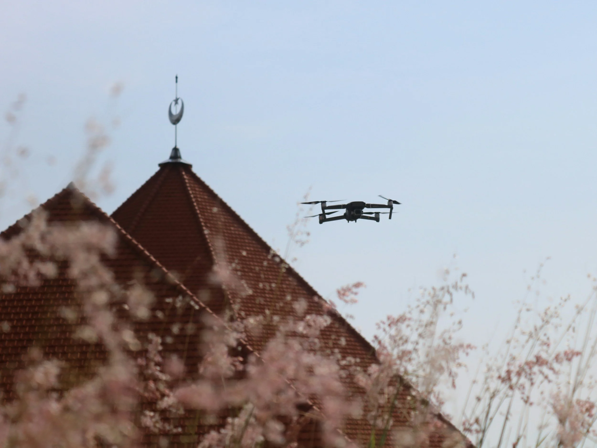
Aerial Intelligence for Better Decisions
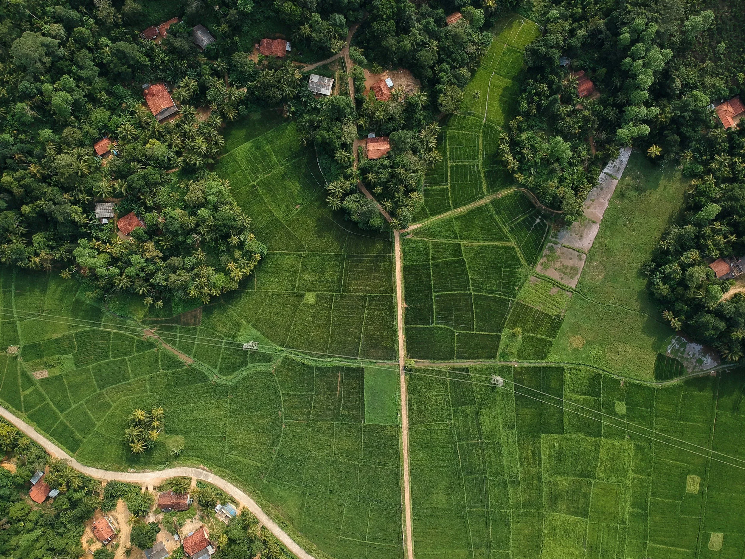
Mapping & Orthomosaics
High-resolution site maps and visual records that support planning, measurements, comparison, and clear communication.
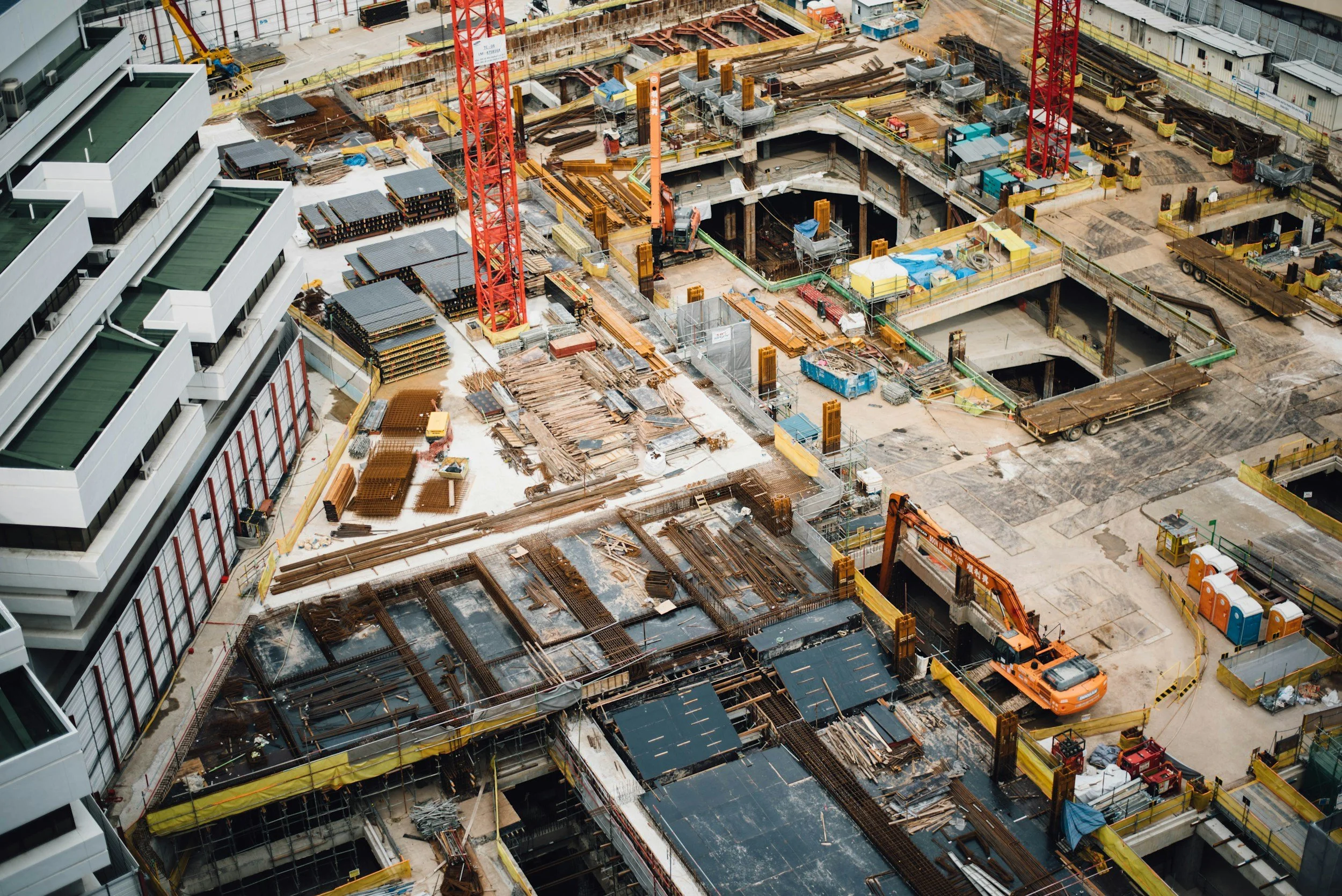
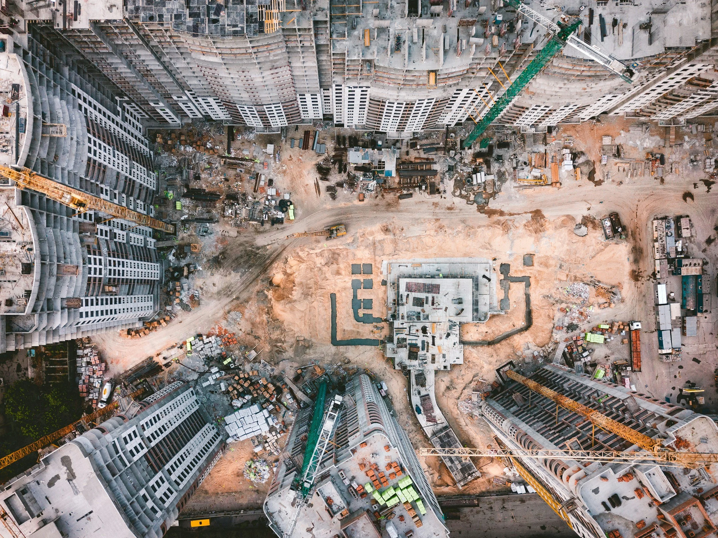
Construction Progress
Repeatable aerial capture and organized reporting that help owners and project teams understand change over time.
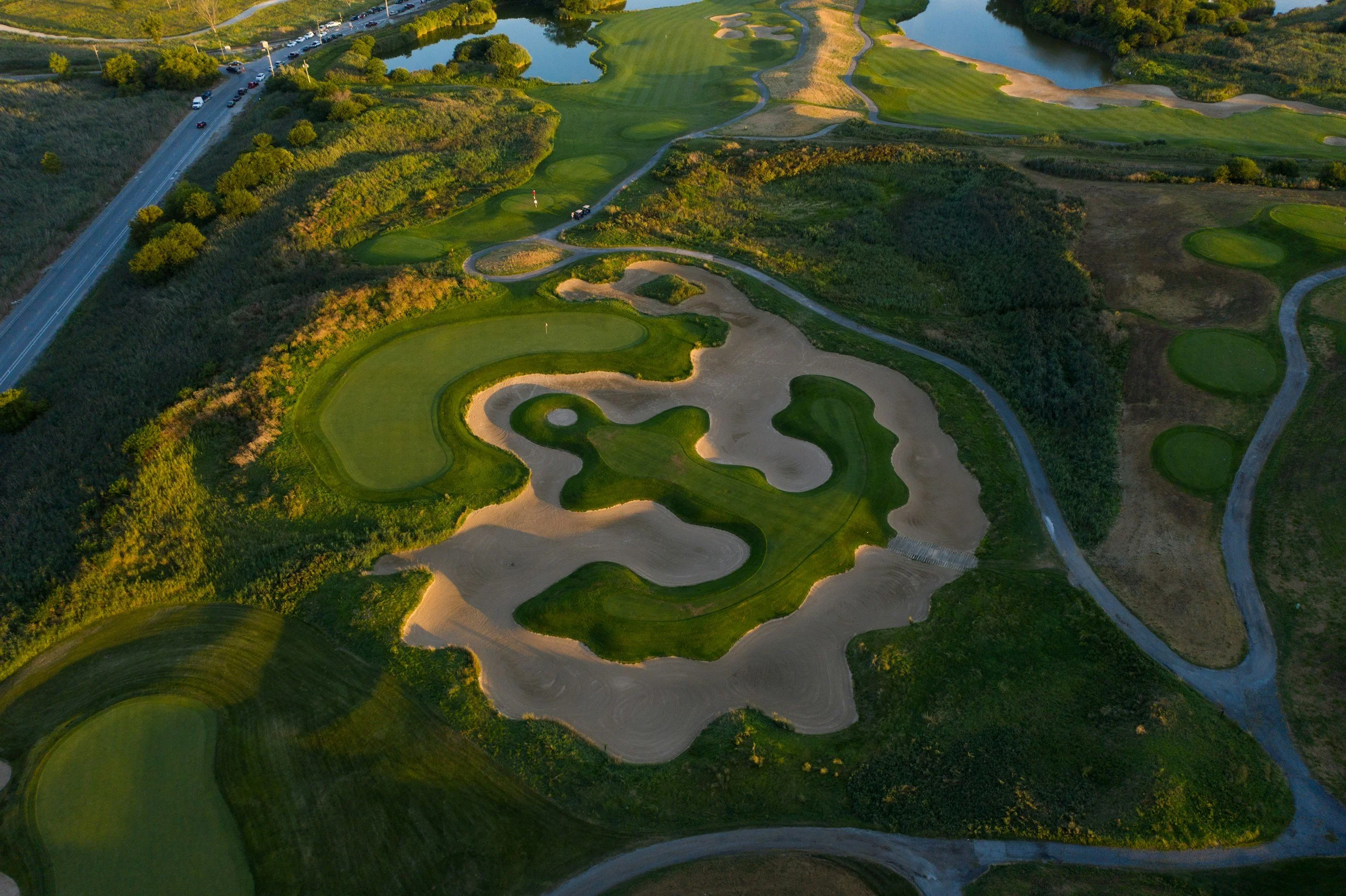
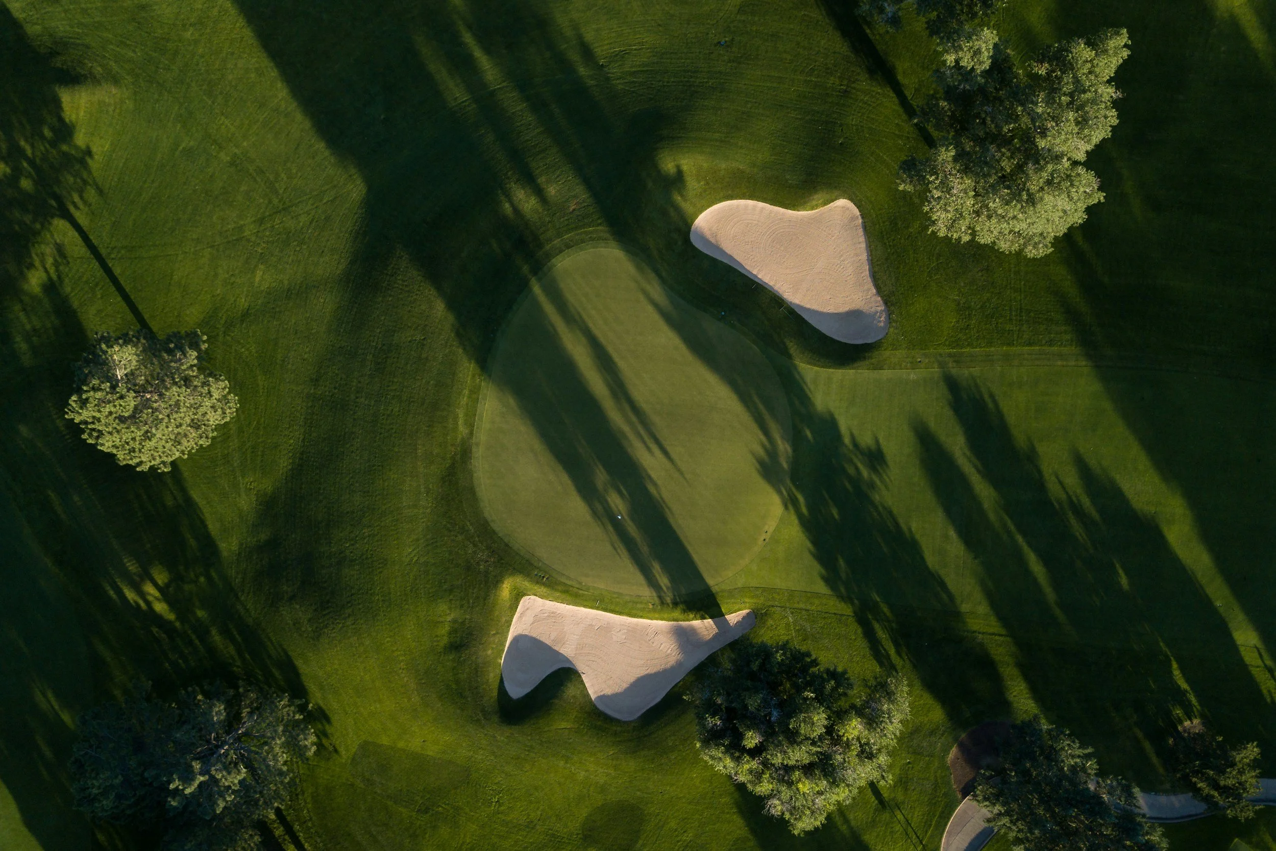
Parks, Golf Course & Asset Intelligence
Decision-ready insight for turf, athletic fields, irrigation, trees, trails, facilities, and other managed assets.
More Than Imagery. Understanding.
Every flight is designed around a management question. Drone39 combines disciplined aerial capture, analysis, and clear reporting so clients can understand what was observed, where it occurred, why it matters, and what to consider next.
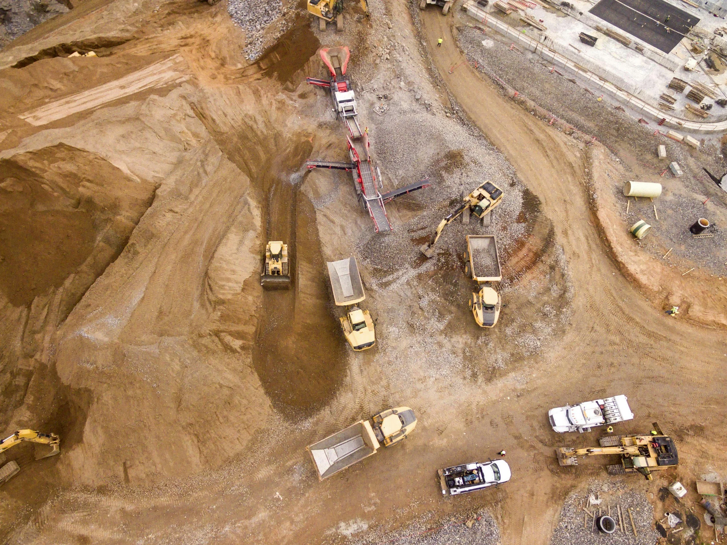
See the Work From Above

Request a Project Estimate
Tell us about your site, objectives, timeline, and desired deliverables. Drone39 will review the project and recommend the next steps.
Aerial Perspective in Motion
A moving view reveals patterns, scale, and change that a single frame cannot.