
Aerial Data Built for Better Decisions
Drone39 transforms aerial imagery and geospatial data into clear, practical information you can use. Every project begins with the decision you need to make, then we design the flight, analysis, and deliverables around that outcome.
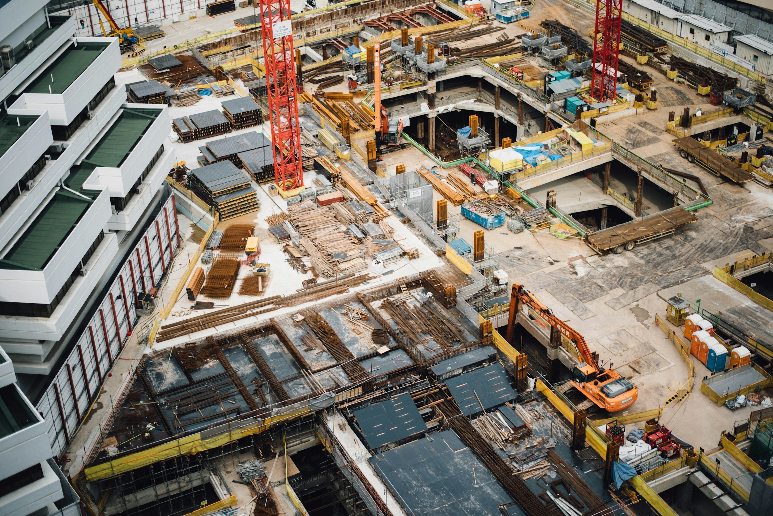
Mapping, Construction & Site Intelligence
High resolution orthomosaics, site maps, 3D documentation, stockpile and site measurements, and repeatable construction progress capture create a reliable record of existing conditions and change over time.
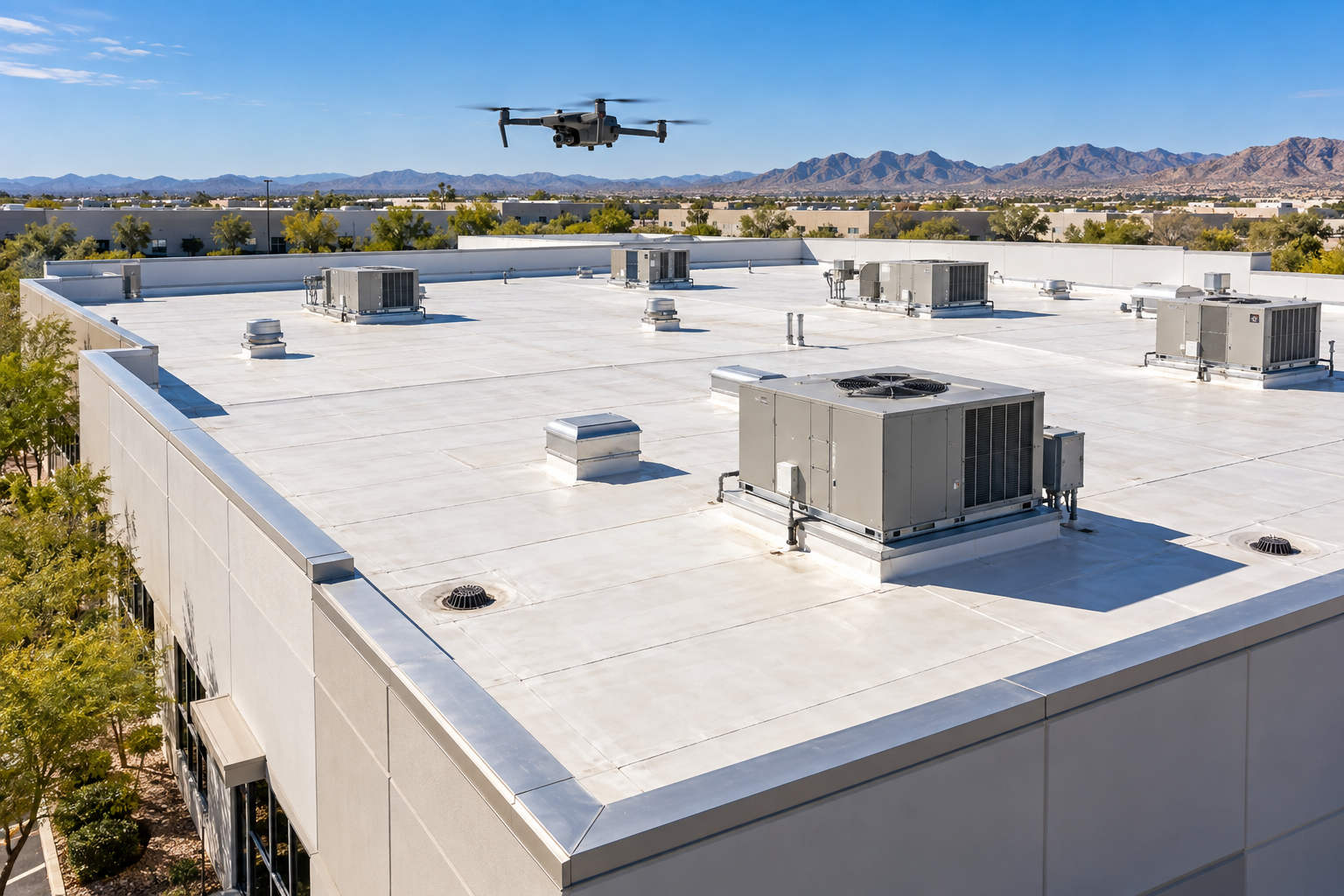
Inspection Support & Asset Documentation
Detailed aerial imagery and organized condition documentation for roofs, telecommunications towers, facilities, and other difficult to access assets help teams identify visible concerns, monitor change, prioritize follow up, and communicate findings clearly.
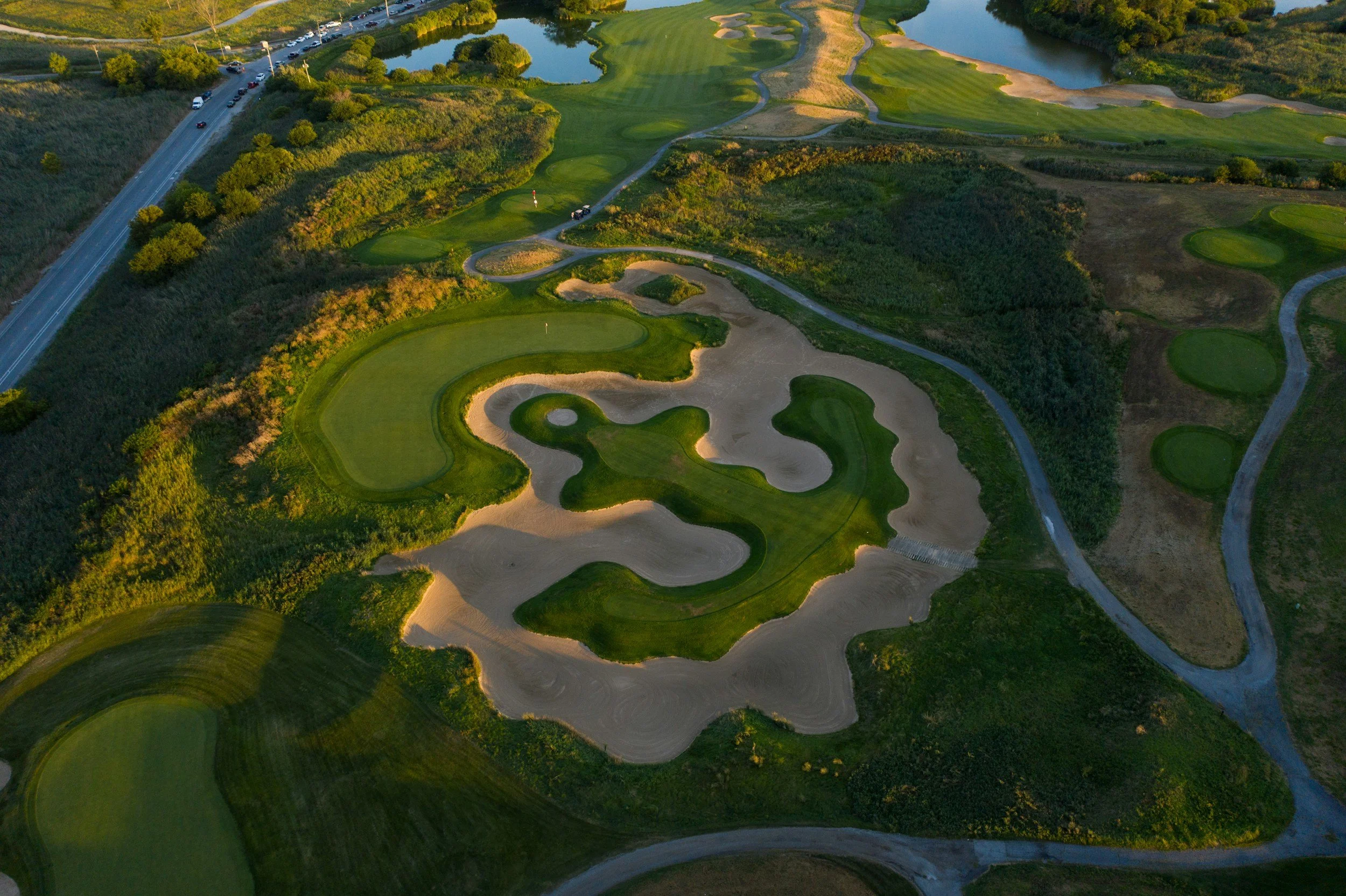
Parks, Turf, Athletic Fields & Custom Aerial Solutions
Repeatable aerial views and tailored data collection support parks, golf courses, athletic fields, trails, vegetation, drainage, irrigation patterns, and other managed landscapes. Thermal and multispectral analysis remain developing capabilities.
Disaster Assessment & Recovery Support
Drone39 provides aerial imagery, site maps, and organized visual documentation to help property owners, municipalities, and infrastructure teams understand damage, prioritize follow-up, and track recovery.
Post-storm documentation of roofs, facilities, and properties
Mapping of visible flooding, erosion, and drainage impacts
Aerial observation of difficult-to-access areas and assets
Before-and-after imagery and repeatable recovery progress capture
Projects are scoped around site conditions, access, and required flight authorizations. Support during an active incident is coordinated with the responsible agency.
Incident Management Training
Drone39’s owner has completed incident command, National Incident Management System, and National Response Framework training, including ICS-300. This background supports clear communication and coordination with responsible agencies during disaster assessment and recovery documentation.
Start With the Decision You Need to Make
Tell us about your site, challenge, and desired outcome. We will recommend a practical scope, appropriate deliverables, and the next step for your project.