
Industries We Serve
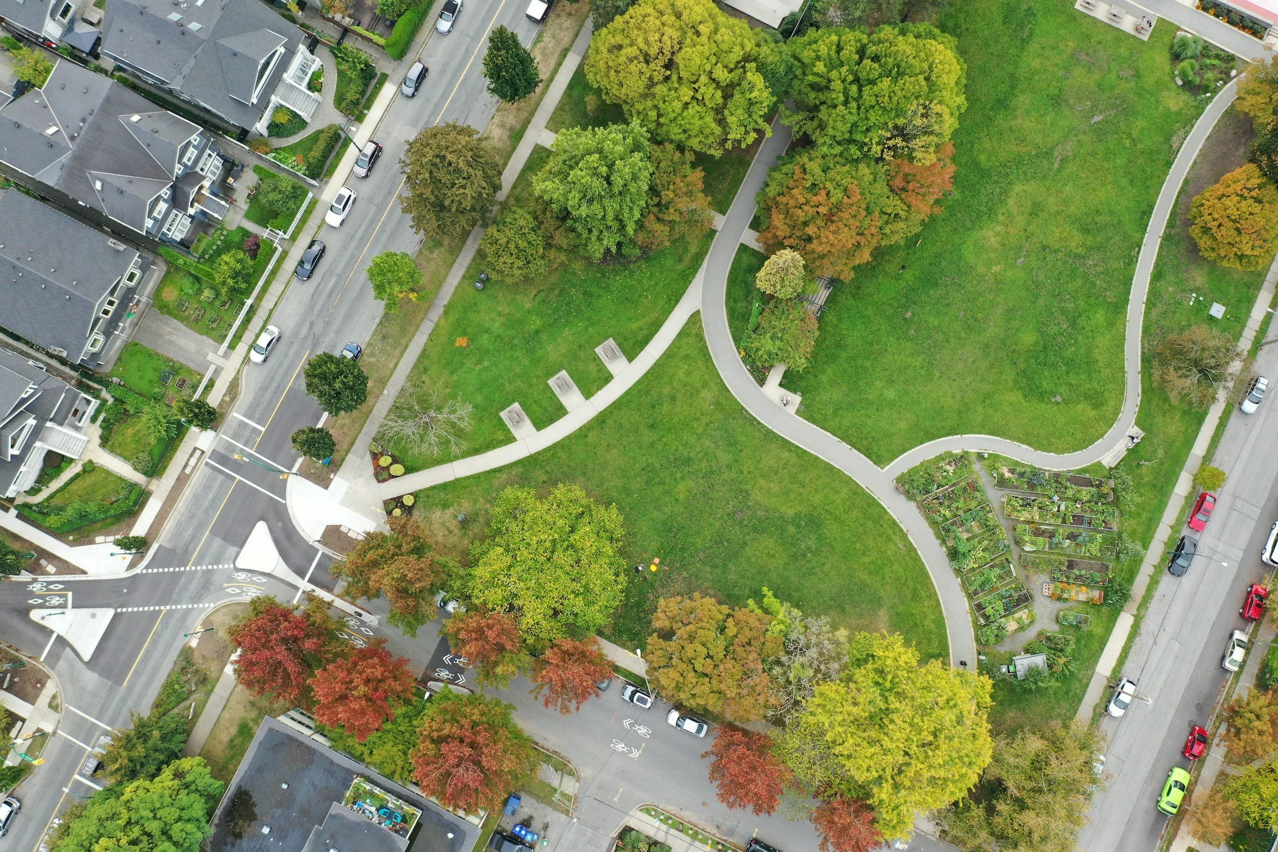
Municipal governments, parks and recreation departments, and public agencies use aerial documentation to support asset management, site planning, condition monitoring, and clear communication.
Public Agencies, Parks & Recreation
Golf courses, athletic fields, and managed landscapes gain repeatable aerial views of turf, vegetation, drainage, irrigation patterns, course conditions, and change over time.
Golf, Athletic Fields & Managed Turf
Developers, contractors, property managers, roofing and facility teams, and telecommunications providers use mapping and progress documentation to improve visibility, track work, and support informed decisions.
Construction, Roofing & Infrastructure